Ceci est la seconde édition du workshop créé par l’auteur pour le laboratoire d’architecture ALICE (EPFL-ENAC) dans le cadre du projet de recherche et d’enseignement POLIPHILO. Le premier workshop (2019) demeure disponible en ligne. Si vous n’avez pas assisté à la séance du 1e avril, consultez la première partie du deuxième workshop.
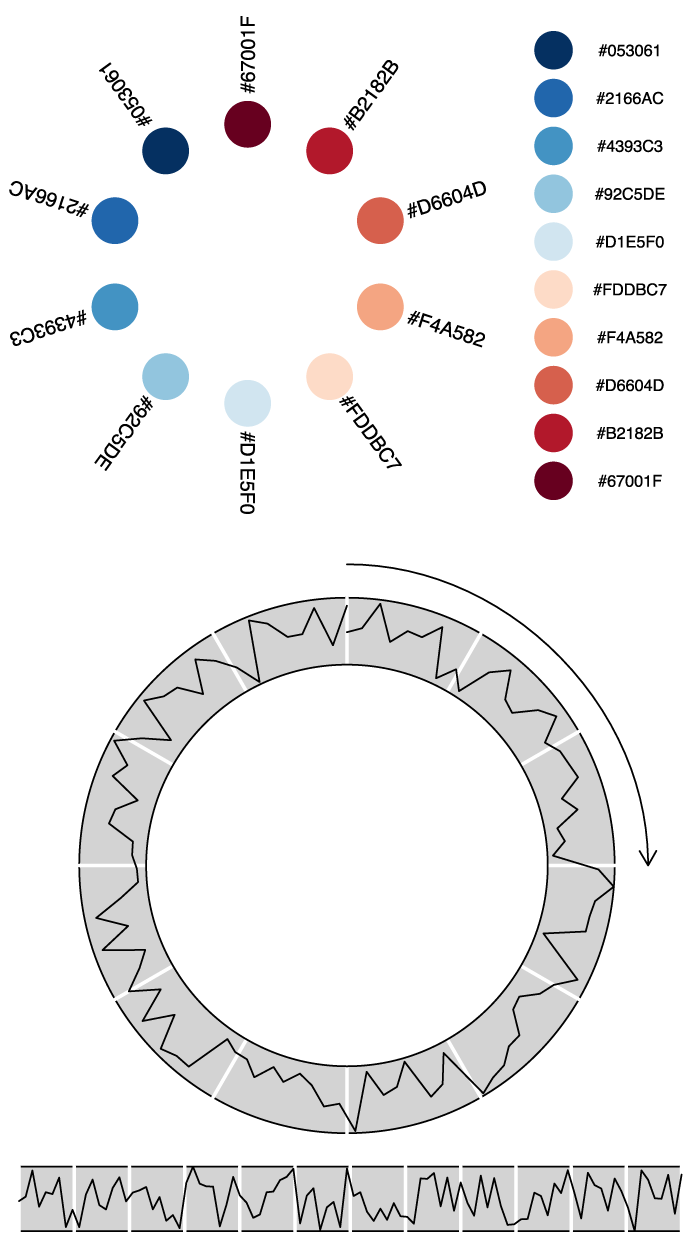
Dans cette seconde partie, nous allons nous […] Continue Reading…