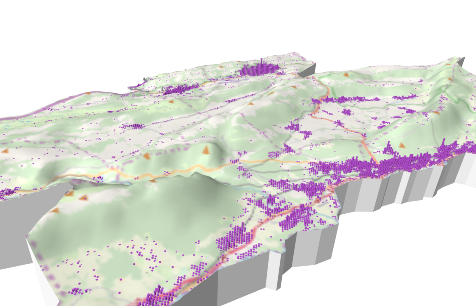
Nous allons créer un modèle 3d du canton de Neuchâtel. Nous utiliserons, pour cela, le module Qgis2threeJS créé par Minoru Akagi. Ce module permet d’exporter aisément (sans connaissance de langages de programmation) des modèles 3d sous forme d’un système de fichiers du framework three.js. Ce dernier permet de présenter des objets interactifs dans les navigateurs […]
Tag Archives: threejs
GéoRécits3D : mapping journeys and shared places in a space-time aquarium
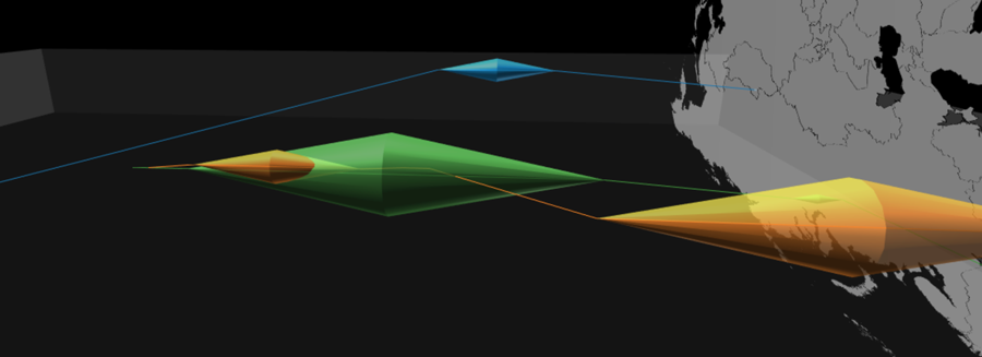
Spatial mobility always involves at least two types of distances: the topographical distance traveled on the surface of the Earth and the time distance taken to do so. GéoRécits3D allows you to map both in a “space-time aquarium” (a cuboid with one dimension dedicated to time). It is written using HTML5 and JavaScript, and uses […]