Who’s the real inhabitant of a place? For a long time, population maps have been constructed as if everybody stood still in their homes. Yet leaving this “domostatic” perspective is to geography like opening Pandora’s Box. All objects of any concern to the discipline must then be understood in a dynamic relationship to the rest of the world. Because any spatially defined area in today’s globalized context is actually inhabited by more people than those that reside in this area, all individuals on the planet can be considered as a potential part of the population of any place. In other words, no place is local. A population map of any territory can only strive for accuracy if one tries to include global-mobility-induced stay-times within the mapped area.
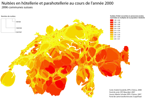
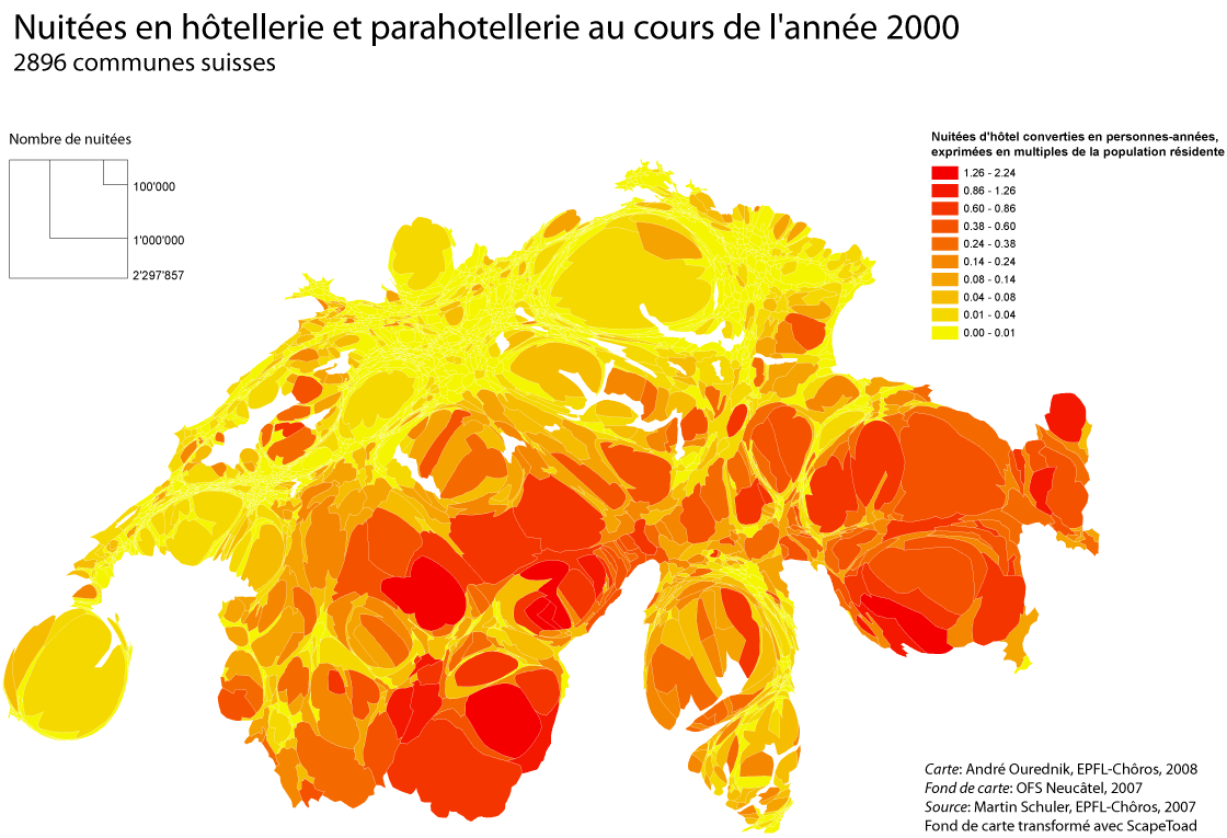
To what extent this is true can be verified by looking at “imported” stay-times I’ve already talked about in a preceding blog . Here is another illustration, based on hotel nights. As you can see can see on this map, the touristic presence can sometimes up to triple the local population in terms of total stay-times, which shows not only the inaccuracy of domostatic measuring but raises also major political questions about “local” governance. In effect, to what extent can a place in which only one third of the actual occupants has political rights and obligations be considered as democratic? To which extent are local constitutions already concomitant with the principles of the World Tourism Organization? To which extent does the basic right to move, protected by the Article 13 of the Human Rights Declaration, need to be extended to the freedom to act, politically, in places other than one’s residence?
The place of the topographic territory in politics will need much thought and attention in the upcomming epoch. No doubt its importance will be both downscaled and coupled to other societal interobjects. The westphalian model of the territorial state is under rising pressure. New models of participation, based on transterritorial societies, will have to be invented, unless we want to see democratic systems turn into unpraticable reliques.
References
Ourednik André, 2010, “Cartografare in due dimensioni la realtà diacronica dello spazio abitato” in Emanuela Casti e Jacques Lévy (a cura di): Le sfide cartografiche. Movimento, partecipazione, rischio, Universtà degli Studi di Bergamo: il lavoro editoriale, pp. 65-77.
Tools
Excel, Spss, ArcGIS, ScapeToad, Illustrator.
