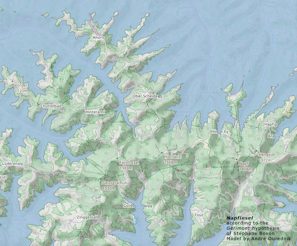
The digital height model DHM25 is a set of data representing the 3D form of the earth’s surface without vegetation and buildings. It is essentially based on the Swiss National Map 1:25 000. Years ago, when Swisstopo was called Bundesamt für Landestopographie, they published this data in their home-made format called MMBLT, stored in files […]
Cartes et espaces