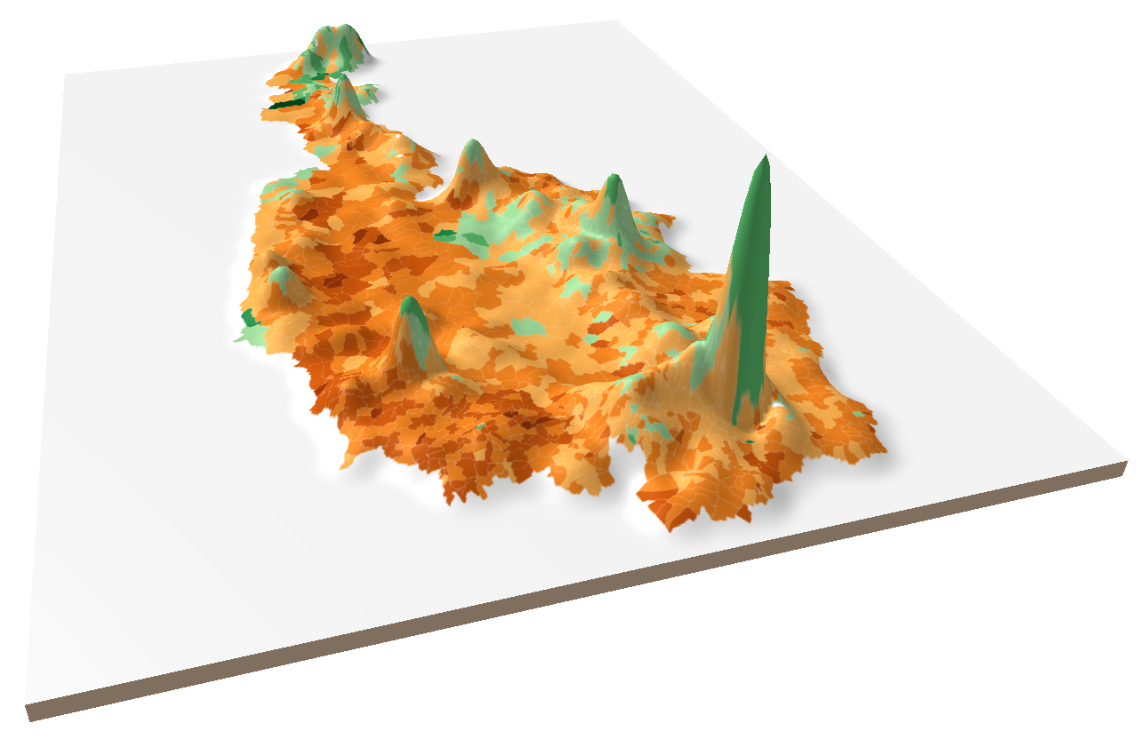
A peer-reviewed paper based on this short post is available here: Ourednik, A. (2017). The third dimension of political mapping: exploiting map interactivity for a better understanding of election and referendum results. Cartography and Geographic Information Science, 0(0), 1‑12. https://doi.org/10.1080/15230406.2017.1295820 On December 4th 2016, Austrians will have to renew their Bundespräsidentenwahl. Up to now, there […]
Cartes et espaces
