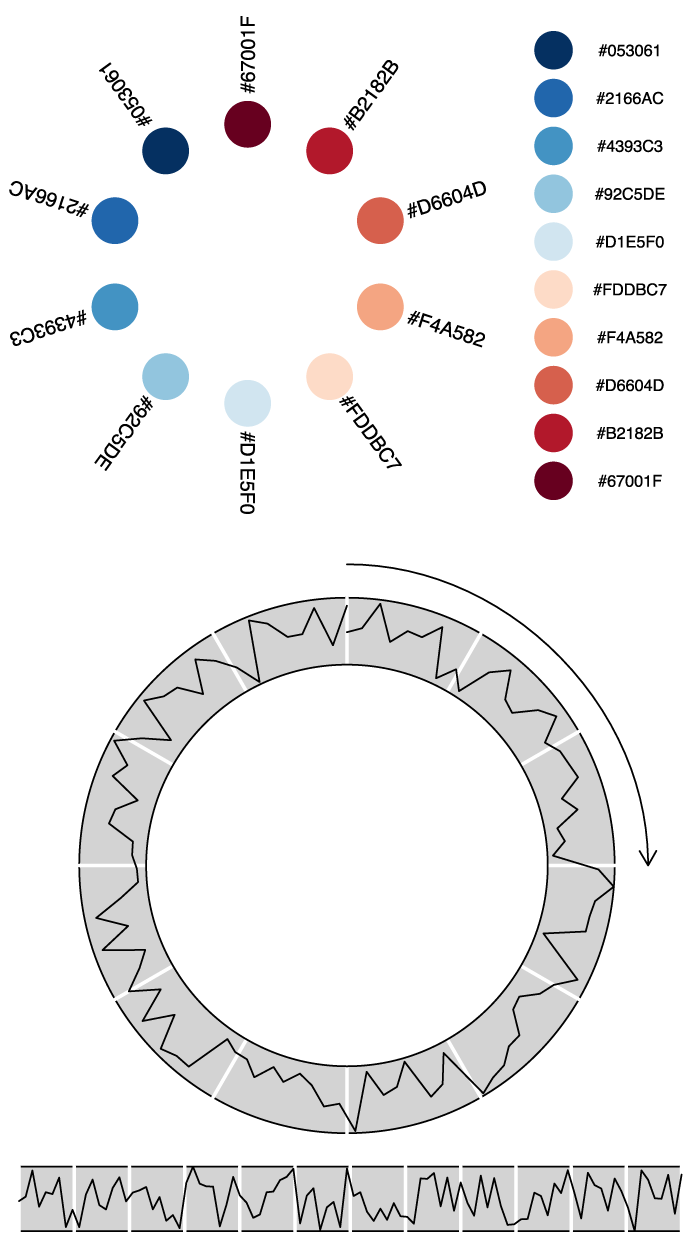
Most of the graphics documenation in R is dedicated to high level plotting packages that sometimes remind me of LaTeX: you spend less time producing graphical elements you need than getting rid of elements you have not asked for. Some of these packages are great, of course, and you should definitely use them for well […]
Tag Archives: Grid
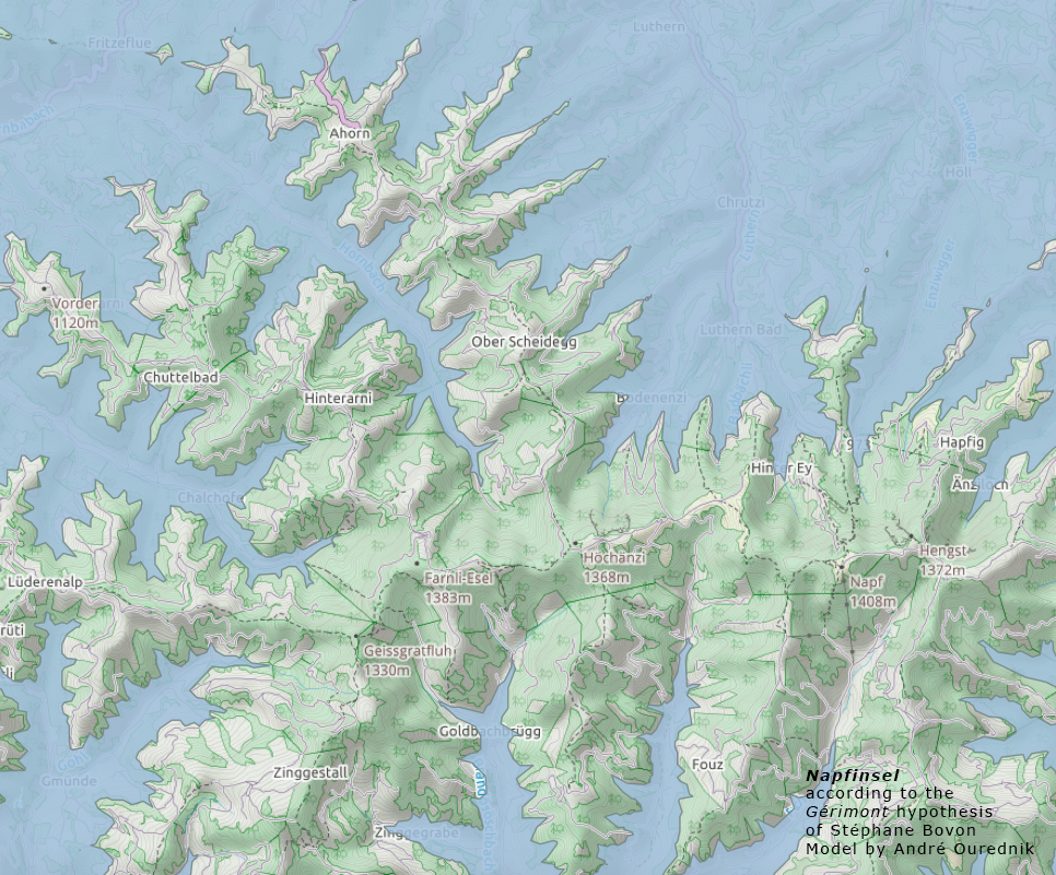
Translate the DHM25 model of Swisstopo from MMBLT to an ARC/ESRI GRID
The digital height model DHM25 is a set of data representing the 3D form of the earth’s surface without vegetation and buildings. It is essentially based on the Swiss National Map 1:25 000. Years ago, when Swisstopo was called Bundesamt für Landestopographie, they published this data in their home-made format called MMBLT, stored in files […]

