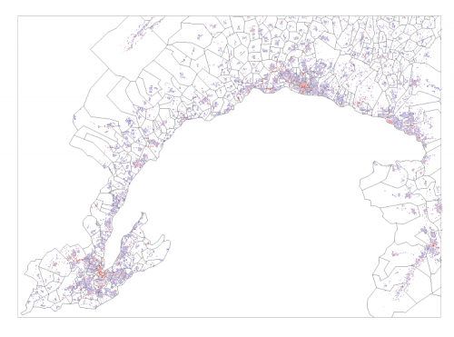
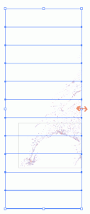
When you export maps from ESRI ArcMap to Adobe Illustrator, the raster background is by default exported as a series of associated bitmap strips, with superposed vector polygons.Here an example:
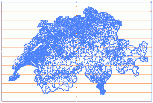
In this – as in many other situations – you might need to crop the image to a specific area. Say the following rectangle:
To do so, first dissociate the vector layer from the raster strips. Then select the raster strips. By default an image options menu will appear just below the menu bar. On this, prese the button “modify the clipping mask” (modifier le masque d’écretage in my French version of Illustrator)
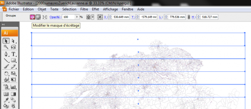
Moving lateral line of the rectangle, then, will not make the image smaller but will crop it horizontally:
Dissociate all strips before cropping vertically. Otherwise, Illustrator crops all grouped elements individually, which would turn your bacground into a zebra. Dissociate like this:
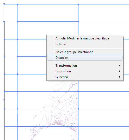
Once the stripes dissociated, you can crop only the uppermost strip that you want to keep, like this:
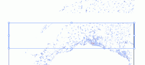
Erase all the strips above (you don’t need them anymore).
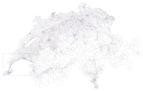
Once you’ve done this, you’re done with the raster aspect. The vector part, though hasn’t been cropped yet as shows the following image:
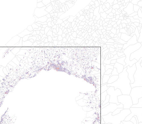
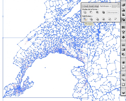
To crop the vector layer, create a rectangle of the size of your vector area and select both the rectangle and your vector layer. Once you’ve done this, open the “pathfinder” toolbox and click on the “division” button, like this:
That’s it. You’re done:
